
Technical Properties:
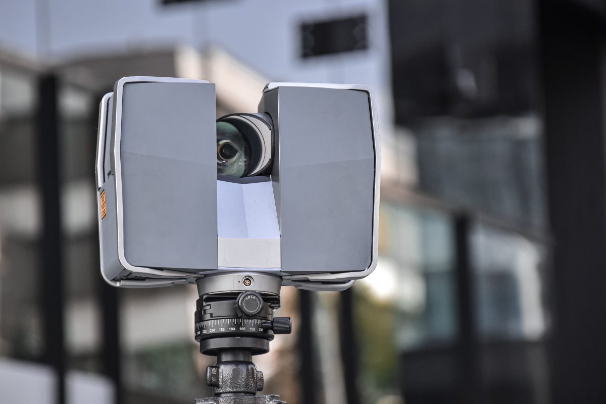
One of the most efficient and advanced methods for extracting spatial data is laser scanning. 3D scanning involves analyzing a real building, object, or environment, collecting data on its shape, spatial position, and appearance (e.g., color). The scanner captures millions of data points with high accuracy in just minutes. The collected data (point cloud model) is then used to generate precise three-dimensional models.
Using point cloud modeling technologies, we can analyze existing structures and gather as-built data in 3D to create highly accurate representations of complex structures. Our point cloud models include all essential building data required for project optimization—not only the façade and main structure but also ceilings, pipe systems, beams, and other architectural elements. Laser scanning is invaluable for assessing a building’s condition before renovation, evaluating risks before demolition, or finalizing blueprints to prevent unexpected costs during construction.
3D scanning allows you to enhance the design process, accelerate data collection, and minimize errors, ultimately saving time and money. It is a significantly faster, more precise, and more comprehensive method compared to traditional surveying techniques. Its applications include scanning building facades, interiors, and structural systems, supporting as-built model creation, enabling 3D printing, facilitating accident investigations, and assisting in archaeological studies. Point cloud quality assessment enables visualization of geometry, textures, and colors, ensuring an efficient and creative workflow. With 3D scanning, you can create highly detailed models with ease.
Request for information
Enter your email address and submit your requests. Upon receipt, our staff will contact you shortly to discuss further details.